|
Caution: Roads, Trails, and Conditions Change
Before venturing into unfamiliar areas, check with a local ranger or other person knowledgable about current conditions and accessibility.
Different maps covering the same area may show different roads, trails, or features. If in doubt about differences, assume they're all wrong.
Devices can fail in many ways and GPS signals can be blocked by surroundings. Have a compass and paper map as a backup, and know how to use them.
Set reasonable limits and be prepared to turn around if appropriate.
We use these maps ourselves and make reasonable efforts to calibrate them accurately.
The accuracy of these calibrated maps depends on the maps they were created from, and may be affected by
variations in projection, scale, and age of the original. Use common sense, be aware of your surroundings, and always have other methods
to determine your position and plan your route.
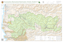
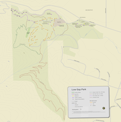
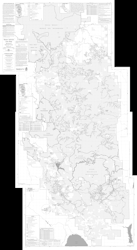
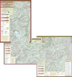
Click on a map icon for file information. See below for download instructions.
Getting Started
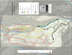
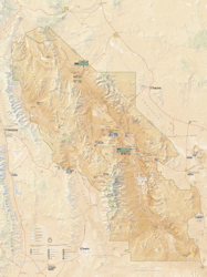
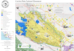
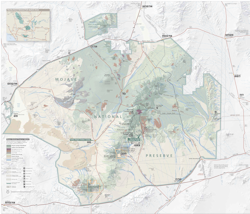
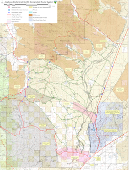
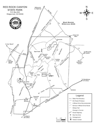
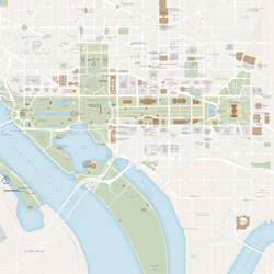
- Click on a map thumbnail below to see a larger map.
- Click on the title link above the map thumbnail to see the location on the map above.
- Download a quest file and earn points by finding things, taking pictures of your discoveries, and optionally sharing with others.
- Guide or trail files may include GPS tracks, markers, text, or photos. Load the guide or trail together with the map.
On an Android or Apple mobile device:
-
Long press on a file name below and copy the file name.
-
Launch or switch to EcoRamble.
-
Tap the folder icon.
-
Select menu option "Download".
-
Paste to the text box and tap "OK".
-
The progress bar shows when the downlad is complete. Tap the back arrow.
-
Tap the file name to load.
On a computer:
-
Click a file name below to download.
-
Start or switch to Photo Sieve®
-
Load the downloaded file with the "Files/Load Album" menu selection.
After loading the psvz file bundle, everything will be unpacked and you can select a psiv album file.
If there's more than one album file, start with the album having the same name as the psvz file.
Extra information for experts
-
These downloads are psvz file bundles containing one or more maps, guides, trails, quests, and other files used by EcoRamble or Photo Sieve®.
-
Psvz file bundles use the zip file format and can be opened by zip utilities such as 7-Zip, BestZip, or WinZip.
-
Map and trail files may be gpx, kml, kmz, or okm files that could be converted or directly loaded on GPS devices, other programs, or mobile apps.
-
If you use an Apple mobile device such as an iPhone or iPad, you can connect your device to a Mac computer and use Finder to transfer files to or from the EcoRamble folder on your mobile device.
-
If you use an Android mobile device, you can connect your device to a computer and transfer files to or from the EcoRamble folder on your mobile device. The EcoRamble folder
is usually on your device internal storage at Android\data\com.canzonatechnologies.EcoRamble\files
|


